What can we learn from landscape patterns of past civilizations? According to a new project led by University of Florida faculty, ancient landscapes can help us design, plan, organize, and maintain systems that are resilient to cultural and ecological change. To better understand this concept, an interdisciplinary and international team of researchers will conduct a study of household, community, and landscape resilience in the Maya lowlands of southern Mexico.
March 25, 2019
Titled Resilient Landscapes: Terracing and Settlement Ecology across the Maya Lowlands, the project was recently awarded a National Science Foundation grant of $263,353. Researchers expect to generate international collaborations with five universities from the United States, Mexico, and Canada. Leading the project are University of Florida faculty Dr. Timothy Murtha (Center for Latin American Studies and College of Design, Construction and Planning), Dr. Angélica Almeyda Zambrano (Department of Tourism, Recreation & Sport Management), and Dr. Eben Broadbent (School of Forest Resources and Conservation). Cross-campus collaborations also include the Spatial Ecology and Conservation (SPEC) Lab and the Florida Institute for Built Environment Resilience.
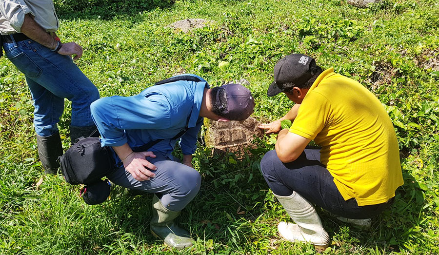
As part of the project, researchers will analyze terrace systems across the Maya lowlands. A terrace is a sloped piece of land where the surface has been cut into ‘steps’ and the flat area is used for farming purposes. Even though the practice of terracing and land use has been researched since the 1970s, many questions remain regarding these agricultural landscapes. Technological advancements, however, such as LiDAR mapping, provide researchers the ability to document landscapes from the air and gather information on city patterns and population size, even under vegetation, at a large regional scale.
Uniquely, this project combines aircraft LiDAR with drone LiDAR on a landscape scale and marks the first time that such an integrated survey has been conducted in this archeological context. First, the team will process and analyze existing environmental LiDAR samples obtained by NASA (G-LiHT) to study forest canopy cover throughout Southern Mexico. Preliminary inspection of these samples exhibits widespread presence of Ancient Maya households and terracing beneath the forest canopy. Second, a drone-based LiDAR system: the GatorEye Unmanned Flying Laboratory, developed by the SPEC Lab, will be used to conduct high precision survey of terraced landscapes identified in the airborne data.
LiDAR technology has proven transformative for the implementation of this project, as it offers new rapid methods for identifying and mapping terraces. Thus, by combining soil science, paleoethnobotany, remote sensing, and archaeology with existing LiDAR surveys, researchers will investigate agrarian systems across ecologies and settlement patterns, evaluating the resilience of these systems across the Maya lowlands.
“Our hope is that this work reveals important information about landscape resilience, the way we design and plan communities, and the importance of smallholders in securing long term resilience,” said Dr. Timothy Murtha. “In the process, we will also piece together a critically important landscape narrative of resilience.”
This research will significantly increase our understanding of these longstanding patterns of development so that we can make decisions that may better reflect the regional environment and ecological context of our landscapes. From an academic perspective, the project will create a platform for international collaborations between scholars and students in the United States, Mexico, and Canada, and help enhance the diversity of archeologists. Researchers from other institutions currently involved in the project include Dr. Armando Anaya Hernández (Universidad Autónoma de Campeche), Dr. Charles Golden (Brandeis University), Dr. Andrew Scherer (Brown University), and Dr. Shanti Morell-Hart (McMaster University).